Approaching Gartocharn
Introduction
The photograph on this page of Approaching Gartocharn by Phil Williams as part of the Geograph project.
The Geograph project started in 2005 with the aim of publishing, organising and preserving representative images for every square kilometre of Great Britain, Ireland and the Isle of Man.

There are currently over 7.5m images from over 14,400 individuals and you can help contribute to the project by visiting https://www.geograph.org.uk
Approaching Gartocharn
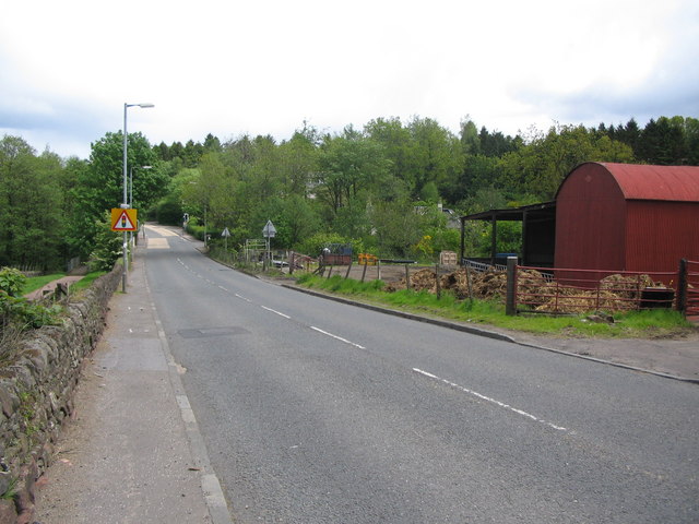
Image: © Phil Williams Taken: 29 May 2006
A view looking northeast along the A811 Old Military Road on the approach to Gartocharn. The buildings of Burnbrae Farm are on the right.
Images are licensed for reuse under creativecommons.org/licenses/by-sa/2.0
Image Location
Latitude
56.039965
Longitude
-4.53137