Maple Road
Introduction
The photograph on this page of Maple Road by Thomas Nugent as part of the Geograph project.
The Geograph project started in 2005 with the aim of publishing, organising and preserving representative images for every square kilometre of Great Britain, Ireland and the Isle of Man.

There are currently over 7.5m images from over 14,400 individuals and you can help contribute to the project by visiting https://www.geograph.org.uk
Maple Road
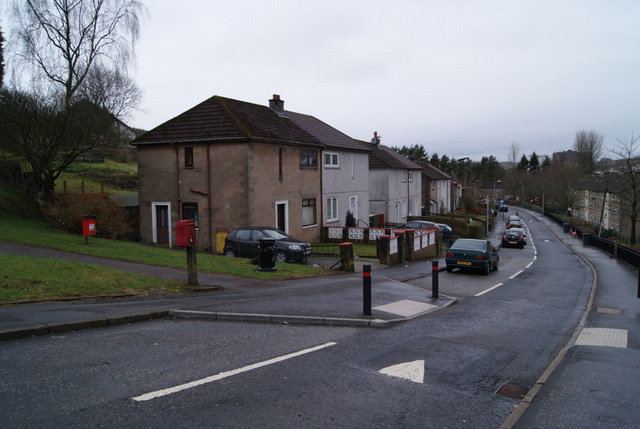
Image: © Thomas Nugent Taken: 29 Mar 2010
Traffic calming measures on the main road through the Pennyfern housing scheme in southwest Greenock.
Images are licensed for reuse under creativecommons.org/licenses/by-sa/2.0
Image Location


Leaflet Map data © OpenStreetMap
Latitude
55.938749
Longitude
-4.789802