The way back
Introduction
The photograph on this page of The way back by Shazz as part of the Geograph project.
The Geograph project started in 2005 with the aim of publishing, organising and preserving representative images for every square kilometre of Great Britain, Ireland and the Isle of Man.

There are currently over 7.5m images from over 14,400 individuals and you can help contribute to the project by visiting https://www.geograph.org.uk
The way back
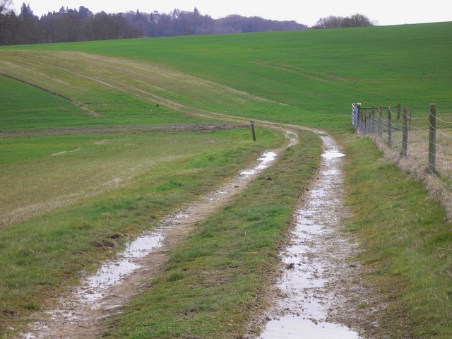
Image: © Shazz Taken: 4 Apr 2010
This footpath is on a very large field at Witley Farm. The footpath in this square is plotted differently on current online OS maps from the Modern Landranger Map which latter agrees with my 1990 OS Pathfinder. What is actually on the ground is closer to the online map but not quite as shown. The bend in the path is just about on the southern edge of the grid square. The footpath marker is the same as the one in http://www.geograph.org.uk/photo/1787303.
Images are licensed for reuse under creativecommons.org/licenses/by-sa/2.0
Image Location


Leaflet Map data © OpenStreetMap
Latitude
51.116172
Longitude
-0.693856