River Inver
Introduction
The photograph on this page of River Inver by Jim Barton as part of the Geograph project.
The Geograph project started in 2005 with the aim of publishing, organising and preserving representative images for every square kilometre of Great Britain, Ireland and the Isle of Man.

There are currently over 7.5m images from over 14,400 individuals and you can help contribute to the project by visiting https://www.geograph.org.uk
River Inver
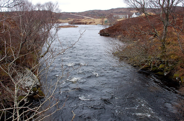
Image: © Jim Barton Taken: 3 Apr 2010
A view from the bridge 1 km W of the end of Loch Assynt. The A837 Lochinver road is visible and the house is Little Assynt.
Images are licensed for reuse under creativecommons.org/licenses/by-sa/2.0
Image Location
Latitude
58.173759
Longitude
-5.137822