Road junction, Eastrington
Introduction
The photograph on this page of Road junction, Eastrington by Paul Harrop as part of the Geograph project.
The Geograph project started in 2005 with the aim of publishing, organising and preserving representative images for every square kilometre of Great Britain, Ireland and the Isle of Man.

There are currently over 7.5m images from over 14,400 individuals and you can help contribute to the project by visiting https://www.geograph.org.uk
Road junction, Eastrington
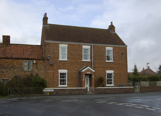
Image: © Paul Harrop Taken: 3 Apr 2010
Junction of Queen Street, Pinfold Street and Sandholme Road, looking towards the house called Lanegarth.
Images are licensed for reuse under creativecommons.org/licenses/by-sa/2.0
Image Location
Latitude
53.761229
Longitude
-0.792325