Former Drumoyne Primary School on Shieldhall Road
Introduction
The photograph on this page of Former Drumoyne Primary School on Shieldhall Road by G Laird as part of the Geograph project.
The Geograph project started in 2005 with the aim of publishing, organising and preserving representative images for every square kilometre of Great Britain, Ireland and the Isle of Man.

There are currently over 7.5m images from over 14,400 individuals and you can help contribute to the project by visiting https://www.geograph.org.uk
Former Drumoyne Primary School on Shieldhall Road
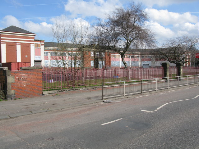
Image: © G Laird Taken: 2 Apr 2010
Drumoyne Primary School has now been merged with Elder Park and Greenfield Primary Schools and Govan Family Learning Centre as Pirie Park Primary School on Langlands Road.
Images are licensed for reuse under creativecommons.org/licenses/by-sa/2.0
Image Location
Latitude
55.855506
Longitude
-4.327926