River Holme viewed from Queens Mill Road
Introduction
The photograph on this page of River Holme viewed from Queens Mill Road by Stephen Armstrong as part of the Geograph project.
The Geograph project started in 2005 with the aim of publishing, organising and preserving representative images for every square kilometre of Great Britain, Ireland and the Isle of Man.

There are currently over 7.5m images from over 14,400 individuals and you can help contribute to the project by visiting https://www.geograph.org.uk
River Holme viewed from Queens Mill Road
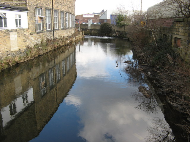
Image: © Stephen Armstrong Taken: 10 Mar 2010
Looking north east towards the weir and, just out of sight, the River Colne.
Images are licensed for reuse under creativecommons.org/licenses/by-sa/2.0
Image Location
Latitude
53.638078
Longitude
-1.786558