Bridleway to White House Farm
Introduction
The photograph on this page of Bridleway to White House Farm by Philip Barker as part of the Geograph project.
The Geograph project started in 2005 with the aim of publishing, organising and preserving representative images for every square kilometre of Great Britain, Ireland and the Isle of Man.

There are currently over 7.5m images from over 14,400 individuals and you can help contribute to the project by visiting https://www.geograph.org.uk
Bridleway to White House Farm
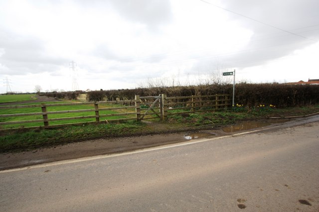
Image: © Philip Barker Taken: 3 Apr 2010
This photograph shows a view of the bridleway that goes from Blakeston Lane to White House Farm. The entrance track to Norton Golf Club can be seen just above the wooden fence in the left-hand side of the image. The picture was taken looking in an east-north-easterly direction towards Billingham Beck.
Images are licensed for reuse under creativecommons.org/licenses/by-sa/2.0
Image Location
Latitude
54.599148
Longitude
-1.34554