Negotiating a flooded road in Darnick
Introduction
The photograph on this page of Negotiating a flooded road in Darnick by Walter Baxter as part of the Geograph project.
The Geograph project started in 2005 with the aim of publishing, organising and preserving representative images for every square kilometre of Great Britain, Ireland and the Isle of Man.

There are currently over 7.5m images from over 14,400 individuals and you can help contribute to the project by visiting https://www.geograph.org.uk
Negotiating a flooded road in Darnick
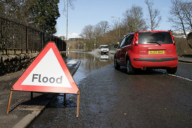
Image: © Walter Baxter Taken: 1 Apr 2010
A couple of days of heavy rain and snow resulted in several flooded roads in the Borders Region. A blocked road gulley caused this problem for drivers in Abbotsford Road in the village of Darnick.
Images are licensed for reuse under creativecommons.org/licenses/by-sa/2.0
Image Location
Latitude
55.602119
Longitude
-2.744796