Portbury Ditch
Introduction
The photograph on this page of Portbury Ditch by Derek Harper as part of the Geograph project.
The Geograph project started in 2005 with the aim of publishing, organising and preserving representative images for every square kilometre of Great Britain, Ireland and the Isle of Man.

There are currently over 7.5m images from over 14,400 individuals and you can help contribute to the project by visiting https://www.geograph.org.uk
Portbury Ditch
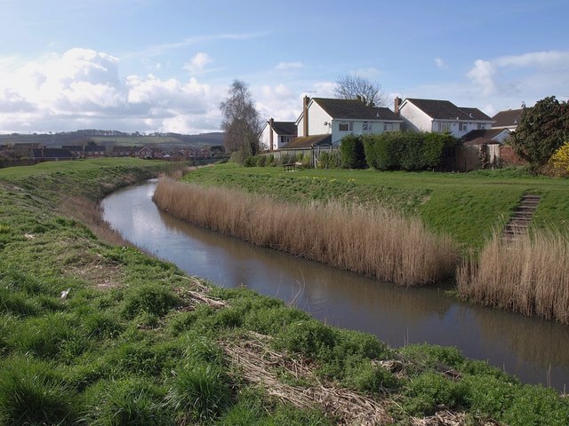
Image: © Derek Harper Taken: 1 Apr 2010
An unappealing name for the sizable watercourse that drain the Gordano valley and runs through the eastern side of the town. Here, with its banks and a grassy area behind, it forms a natural corridor between housing on Brampton Way (right) and Heron Gardens.
Images are licensed for reuse under creativecommons.org/licenses/by-sa/2.0
Image Location
Latitude
51.479589
Longitude
-2.760262