Kenton: Woodgrange Avenue
Introduction
The photograph on this page of Kenton: Woodgrange Avenue by Dr Neil Clifton as part of the Geograph project.
The Geograph project started in 2005 with the aim of publishing, organising and preserving representative images for every square kilometre of Great Britain, Ireland and the Isle of Man.

There are currently over 7.5m images from over 14,400 individuals and you can help contribute to the project by visiting https://www.geograph.org.uk
Kenton: Woodgrange Avenue
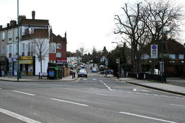
Image: © Dr Neil Clifton Taken: 1 Apr 2010
This road branches away from the south side of Kenton Road near the top of Woodcock Hill, which it immediately crosses and then pursues an easterly course before re-joining Kenton Road about a quarter of a mile further east.
Images are licensed for reuse under creativecommons.org/licenses/by-sa/2.0
Image Location
Latitude
51.585815
Longitude
-0.305429