Gin Pit rucks 1974
Introduction
The photograph on this page of Gin Pit rucks 1974 by Chris Denny as part of the Geograph project.
The Geograph project started in 2005 with the aim of publishing, organising and preserving representative images for every square kilometre of Great Britain, Ireland and the Isle of Man.

There are currently over 7.5m images from over 14,400 individuals and you can help contribute to the project by visiting https://www.geograph.org.uk
Gin Pit rucks 1974
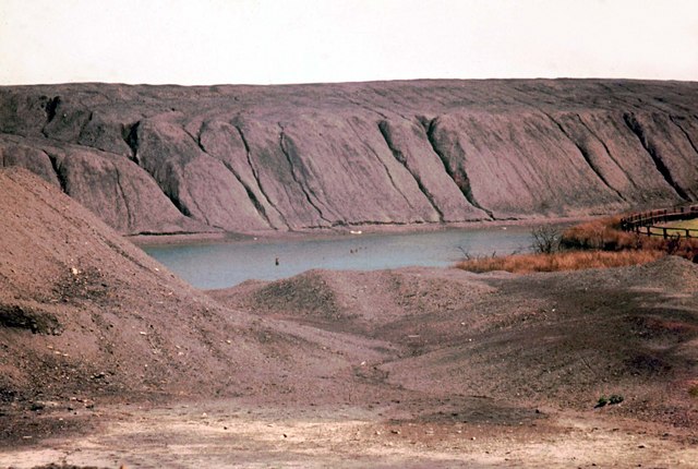
Image: © Chris Denny Taken: Unknown
Spoil heaps riven with gullies and a deep 'flash' make this scene from 1974 completely unrecognisable now. This area of former mining waste between Higher Folds and Gin Pit village has long since been landscaped.
Images are licensed for reuse under creativecommons.org/licenses/by-sa/2.0
Image Location
Latitude
53.502945
Longitude
-2.475767