Old A435, Sedgeberrow
Introduction
The photograph on this page of Old A435, Sedgeberrow by Philip Halling as part of the Geograph project.
The Geograph project started in 2005 with the aim of publishing, organising and preserving representative images for every square kilometre of Great Britain, Ireland and the Isle of Man.

There are currently over 7.5m images from over 14,400 individuals and you can help contribute to the project by visiting https://www.geograph.org.uk
Old A435, Sedgeberrow
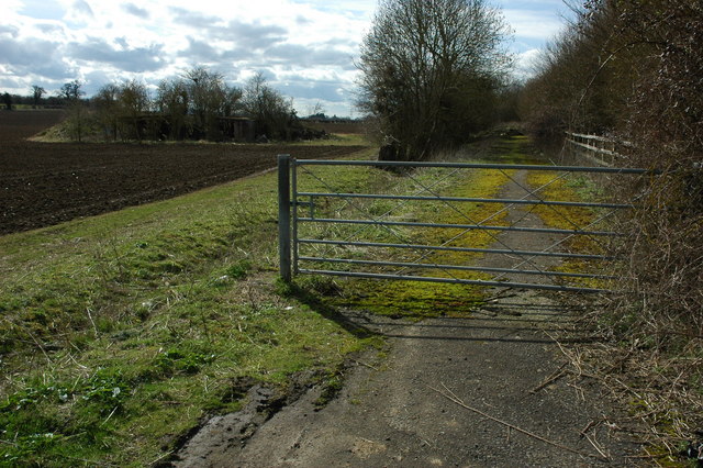
Image: © Philip Halling Taken: 28 Mar 2010
This used to be the route of the A435 until it was replaced and upgraded to the A46 with now bypasses Sedgeberrow.
Images are licensed for reuse under creativecommons.org/licenses/by-sa/2.0
Image Location


Leaflet Map data © OpenStreetMap
Latitude
52.044174
Longitude
-1.978375