Leigh Common, Wimborne
Introduction
The photograph on this page of Leigh Common, Wimborne by Lorraine and Keith Bowdler as part of the Geograph project.
The Geograph project started in 2005 with the aim of publishing, organising and preserving representative images for every square kilometre of Great Britain, Ireland and the Isle of Man.

There are currently over 7.5m images from over 14,400 individuals and you can help contribute to the project by visiting https://www.geograph.org.uk
Leigh Common, Wimborne
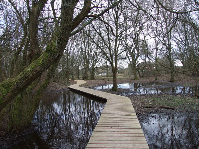
Image: © Lorraine and Keith Bowdler Taken: 27 Mar 2010
Leigh Common is a local nature reserve in Wimborne. It was once an extensive area of wet grassland and meadows, with ponds and ditches, once used by cattle traders on their way to Wimborne Market. There are now several gravel and raised boardwalk footpaths, through this area. http://www.dorsetforyou.com
Images are licensed for reuse under creativecommons.org/licenses/by-sa/2.0
Image Location
Latitude
50.799914
Longitude
-1.962487