Prince's Incline (1)
Introduction
The photograph on this page of Prince's Incline (1) by Alan Murray-Rust as part of the Geograph project.
The Geograph project started in 2005 with the aim of publishing, organising and preserving representative images for every square kilometre of Great Britain, Ireland and the Isle of Man.

There are currently over 7.5m images from over 14,400 individuals and you can help contribute to the project by visiting https://www.geograph.org.uk
Prince's Incline (1)
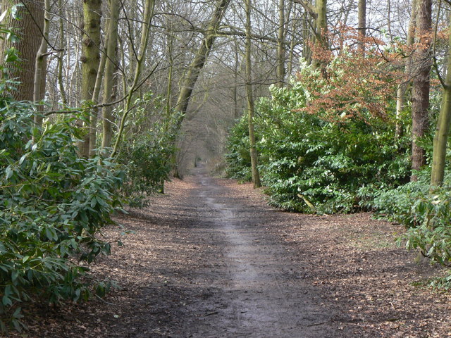
Image: © Alan Murray-Rust Taken: 25 Mar 2010
This was significantly the longer of the two main inclines on the Poynton Collieries railway system. Originally rope-worked, it was converted to locomotive haulage in 1889. Although worked by the colliery company, it was originally built by the Manchester and Birmingham Railway (one of the constituent companies of the London and North Western Railway, and still part of the main route from Manchester to London) and remains the only part of that Company's network to have closed.
Images are licensed for reuse under creativecommons.org/licenses/by-sa/2.0
Image Location
Latitude
53.352563
Longitude
-2.111582