St Jude's church, Plymouth
Introduction
The photograph on this page of St Jude's church, Plymouth by Derek Harper as part of the Geograph project.
The Geograph project started in 2005 with the aim of publishing, organising and preserving representative images for every square kilometre of Great Britain, Ireland and the Isle of Man.

There are currently over 7.5m images from over 14,400 individuals and you can help contribute to the project by visiting https://www.geograph.org.uk
St Jude's church, Plymouth
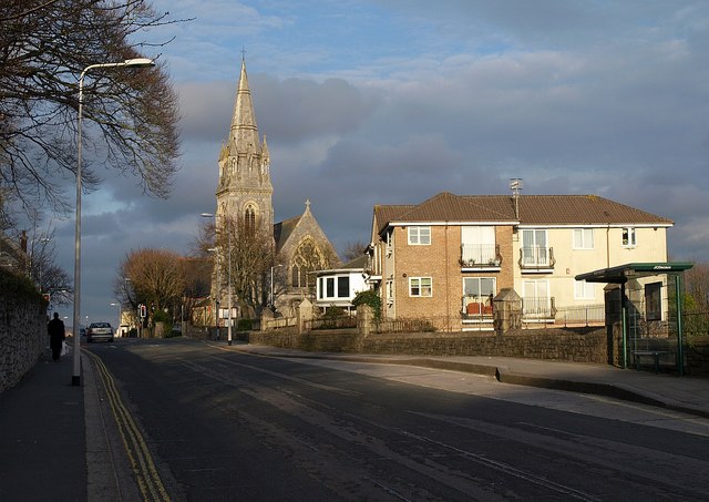
Image: © Derek Harper Taken: 27 Mar 2010
Looking along Beaumont Road towards the church, which is at the crossroads with Tothill Road / Avenue. It was built in the 1870s http://www.imagesofengland.org.uk/Details/Default.aspx?id=473190&mode=adv . You can see the sun glinting on the "slender marble shafts" supporting the corner pinnacles under the banded spire, which dates from 1881. On the right is Resolution House, 12 flats.
Images are licensed for reuse under creativecommons.org/licenses/by-sa/2.0
Image Location
Latitude
50.372805
Longitude
-4.127764