Bend in the River Clydach
Introduction
The photograph on this page of Bend in the River Clydach by Nigel Davies as part of the Geograph project.
The Geograph project started in 2005 with the aim of publishing, organising and preserving representative images for every square kilometre of Great Britain, Ireland and the Isle of Man.

There are currently over 7.5m images from over 14,400 individuals and you can help contribute to the project by visiting https://www.geograph.org.uk
Bend in the River Clydach
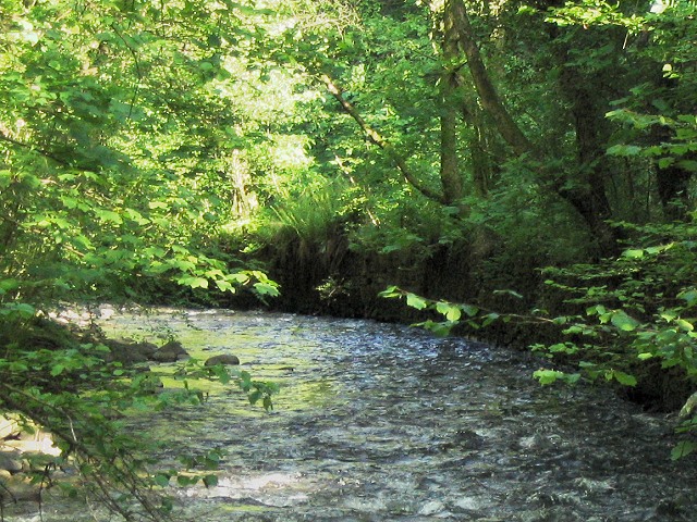
Image: © Nigel Davies Taken: 29 May 2006
This is the view southeast down the river. Although it is now a nature reserve and quite overgrown, there are numerous small signs of mining industry here: building foundations, buried steel ropes and the stone walled artificial bank of the river, visible on the curve in the distance.
Images are licensed for reuse under creativecommons.org/licenses/by-sa/2.0
Image Location
Latitude
51.707487
Longitude
-3.910333