Beddington: Junction of Wandle Road with Bridle Path
Introduction
The photograph on this page of Beddington: Junction of Wandle Road with Bridle Path by Dr Neil Clifton as part of the Geograph project.
The Geograph project started in 2005 with the aim of publishing, organising and preserving representative images for every square kilometre of Great Britain, Ireland and the Isle of Man.

There are currently over 7.5m images from over 14,400 individuals and you can help contribute to the project by visiting https://www.geograph.org.uk
Beddington: Junction of Wandle Road with Bridle Path
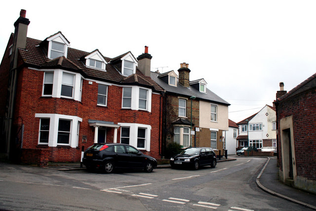
Image: © Dr Neil Clifton Taken: 29 Mar 2010
Notices on the house wall above the second car indicate where Wandle Road (to the left) meets Bridle Road (to the right). So, of these four houses, only the right-hand one, which is named 'Bridle House', is in Bridle Path, the left-hand three being part of Wandle Road. The photograph was taken from the end of Bridges Lane.
Images are licensed for reuse under creativecommons.org/licenses/by-sa/2.0
Image Location
Latitude
51.370028
Longitude
-0.130086