Victorian house, Haseley Green
Introduction
The photograph on this page of Victorian house, Haseley Green by Robin Stott as part of the Geograph project.
The Geograph project started in 2005 with the aim of publishing, organising and preserving representative images for every square kilometre of Great Britain, Ireland and the Isle of Man.

There are currently over 7.5m images from over 14,400 individuals and you can help contribute to the project by visiting https://www.geograph.org.uk
Victorian house, Haseley Green
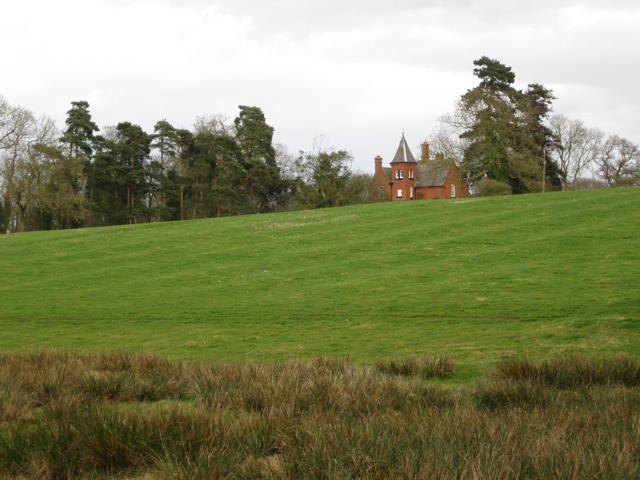
Image: © Robin Stott Taken: 27 Mar 2010
A vaguely heraldic plaque on the turret bears the date 1864. Note: rush-infested foreground; ridge and furrow; the unusual grove of Scots pine and some old exotic conifers—origin of the name Firs Farm and Firs Lane?
Images are licensed for reuse under creativecommons.org/licenses/by-sa/2.0
Image Location
Latitude
52.323811
Longitude
-1.653984