Firs Farm, Haseley Green
Introduction
The photograph on this page of Firs Farm, Haseley Green by Robin Stott as part of the Geograph project.
The Geograph project started in 2005 with the aim of publishing, organising and preserving representative images for every square kilometre of Great Britain, Ireland and the Isle of Man.

There are currently over 7.5m images from over 14,400 individuals and you can help contribute to the project by visiting https://www.geograph.org.uk
Firs Farm, Haseley Green
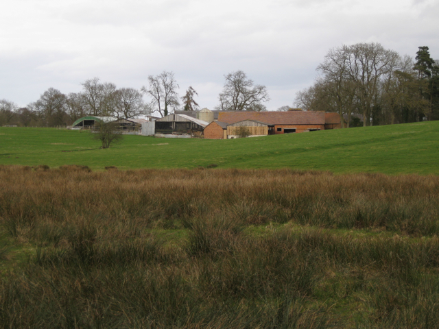
Image: © Robin Stott Taken: 27 Mar 2010
Seen from the southwest, near the Inchford Brook crossing. A broad expanse of rushy ground lies to the east of the brook upstream.
Images are licensed for reuse under creativecommons.org/licenses/by-sa/2.0
Image Location
Latitude
52.323994
Longitude
-1.655157