Old Laira Road, Plymouth
Introduction
The photograph on this page of Old Laira Road, Plymouth by Derek Harper as part of the Geograph project.
The Geograph project started in 2005 with the aim of publishing, organising and preserving representative images for every square kilometre of Great Britain, Ireland and the Isle of Man.

There are currently over 7.5m images from over 14,400 individuals and you can help contribute to the project by visiting https://www.geograph.org.uk
Old Laira Road, Plymouth
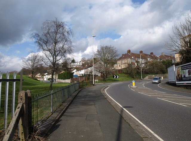
Image: © Derek Harper Taken: 27 Mar 2010
Taken from just north of Image, as the B3214 completes a double bend. On the left is Trefusis Gardens, the houses facing a recreation ground.
Images are licensed for reuse under creativecommons.org/licenses/by-sa/2.0
Image Location
Latitude
50.38287
Longitude
-4.118368