The North Downs Way heads to Canterbury
Introduction
The photograph on this page of The North Downs Way heads to Canterbury by David Anstiss as part of the Geograph project.
The Geograph project started in 2005 with the aim of publishing, organising and preserving representative images for every square kilometre of Great Britain, Ireland and the Isle of Man.

There are currently over 7.5m images from over 14,400 individuals and you can help contribute to the project by visiting https://www.geograph.org.uk
The North Downs Way heads to Canterbury
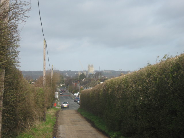
Image: © David Anstiss Taken: 26 Mar 2010
The long distance path and the Elham Valley Way head from Barton Farm towards Canterbury. Canterbury Cathedral is in the background, a focus point to walk toward, through the urban environment.
Images are licensed for reuse under creativecommons.org/licenses/by-sa/2.0
Image Location
Latitude
51.270444
Longitude
1.103172