Heber Street, Old Goole
Introduction
The photograph on this page of Heber Street, Old Goole by Paul Harrop as part of the Geograph project.
The Geograph project started in 2005 with the aim of publishing, organising and preserving representative images for every square kilometre of Great Britain, Ireland and the Isle of Man.

There are currently over 7.5m images from over 14,400 individuals and you can help contribute to the project by visiting https://www.geograph.org.uk
Heber Street, Old Goole
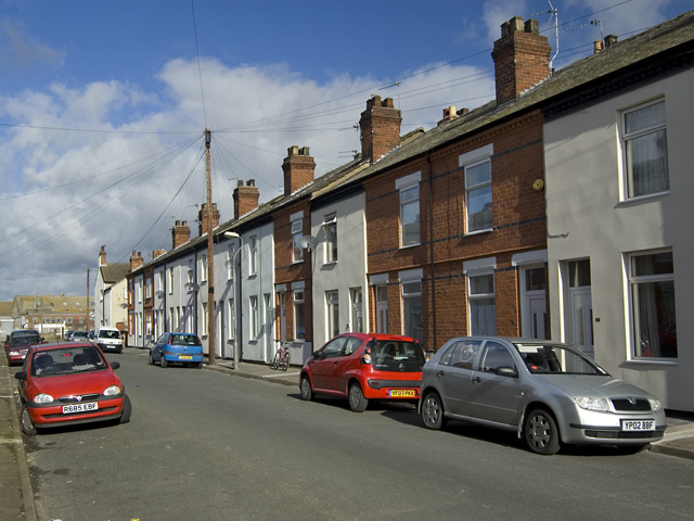
Image: © Paul Harrop Taken: 28 Mar 2010
One of three parallel streets of terraced housing between Cottingham Street and Percy Street. Like many of the houses in Old Goole, they have recently benefited from an East Riding of Yorkshire Council scheme of free repairs and renovation: http://www.eastriding.gov.uk/cs/housing-and-public-protection/housing-services/private-sector-housing/asbestos/advance-goole/
Images are licensed for reuse under creativecommons.org/licenses/by-sa/2.0
Image Location
Latitude
53.693875
Longitude
-0.87419