Carrsgate East (Melkridge)
Introduction
The photograph on this page of Carrsgate East (Melkridge) by Les Hull as part of the Geograph project.
The Geograph project started in 2005 with the aim of publishing, organising and preserving representative images for every square kilometre of Great Britain, Ireland and the Isle of Man.

There are currently over 7.5m images from over 14,400 individuals and you can help contribute to the project by visiting https://www.geograph.org.uk
Carrsgate East (Melkridge)
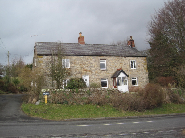
Image: © Les Hull Taken: 24 Mar 2010
A late 18th century house and former byre, with 19th century additions. This is a Grade II Listed Building protected by law. http://www.keystothepast.info/durhamcc/K2P.nsf/K2PDetail?readform&PRN=N13552
Images are licensed for reuse under creativecommons.org/licenses/by-sa/2.0
Image Location
Latitude
54.970517
Longitude
-2.394551