Hall Lane, Colston Bassett
Introduction
The photograph on this page of Hall Lane, Colston Bassett by Kate Jewell as part of the Geograph project.
The Geograph project started in 2005 with the aim of publishing, organising and preserving representative images for every square kilometre of Great Britain, Ireland and the Isle of Man.

There are currently over 7.5m images from over 14,400 individuals and you can help contribute to the project by visiting https://www.geograph.org.uk
Hall Lane, Colston Bassett
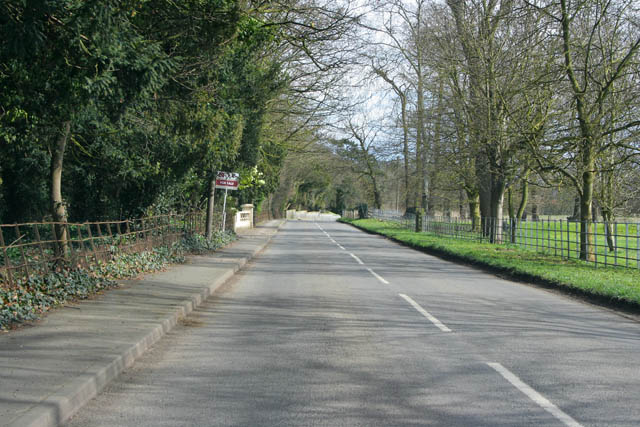
Image: © Kate Jewell Taken: 28 Mar 2010
Looking towards Colston Bassett Hall and the village. To the left is Hall Grounds, various old and mid 20th century houses together with converted estate buildings within the grounds of the Hall. To the right is the Old Vicarage.
Images are licensed for reuse under creativecommons.org/licenses/by-sa/2.0
Image Location
Latitude
52.893286
Longitude
-0.967209