Buckle bypass
Introduction
The photograph on this page of Buckle bypass by Paul Gillett as part of the Geograph project.
The Geograph project started in 2005 with the aim of publishing, organising and preserving representative images for every square kilometre of Great Britain, Ireland and the Isle of Man.

There are currently over 7.5m images from over 14,400 individuals and you can help contribute to the project by visiting https://www.geograph.org.uk
Buckle bypass
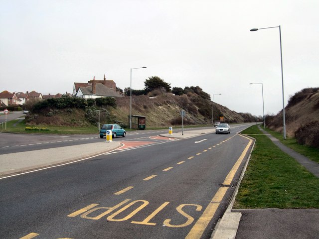
Image: © Paul Gillett Taken: 28 Mar 2010
The Buckle Bypass is the main road from Newhaven to Seaford Until the Buckle Bypass was built in 1963, the main road from Newhaven ran under the Rail bridge and past the Buckle Pub into Seaford. In the winter it was often closed due to high seas http://www.sussex-opc.org/index.php?k=175&t=Parish
Images are licensed for reuse under creativecommons.org/licenses/by-sa/2.0
Image Location
Latitude
50.781804
Longitude
0.086377