Norfolk Road, Penn Fields, Wolverhampton
Introduction
The photograph on this page of Norfolk Road, Penn Fields, Wolverhampton by Roger D Kidd as part of the Geograph project.
The Geograph project started in 2005 with the aim of publishing, organising and preserving representative images for every square kilometre of Great Britain, Ireland and the Isle of Man.

There are currently over 7.5m images from over 14,400 individuals and you can help contribute to the project by visiting https://www.geograph.org.uk
Norfolk Road, Penn Fields, Wolverhampton
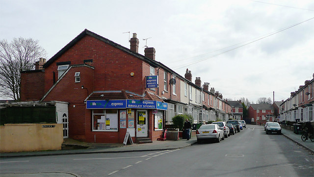
Image: © Roger D Kidd Taken: 17 Mar 2010
This is at the junction with Bingley Street, looking towards Burleigh Road. The area contains mainly late Victorian or early 20th terraced housing. The community is racially very mixed. Many corner shops still thrive, and other premises in some of the terraces support a variety of small businesses.
Images are licensed for reuse under creativecommons.org/licenses/by-sa/2.0
Image Location
Latitude
52.575949
Longitude
-2.144376