Aston Street, Penn Fields, Wolverhampton
Introduction
The photograph on this page of Aston Street, Penn Fields, Wolverhampton by Roger D Kidd as part of the Geograph project.
The Geograph project started in 2005 with the aim of publishing, organising and preserving representative images for every square kilometre of Great Britain, Ireland and the Isle of Man.

There are currently over 7.5m images from over 14,400 individuals and you can help contribute to the project by visiting https://www.geograph.org.uk
Aston Street, Penn Fields, Wolverhampton
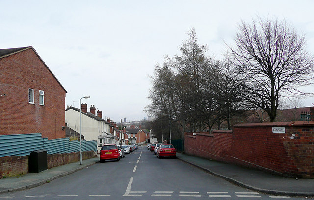
Image: © Roger D Kidd Taken: 17 Mar 2010
Looking towards Owen Street from the junction with Norfolk Street. On the skyline is the tower of St Peter's Church in Wolverhampton city centre. The brick wall on the right hides the grounds of the former Bingley Junior and Infant School, built c 1910. This is now the Bingley Enterprise Centre.
Images are licensed for reuse under creativecommons.org/licenses/by-sa/2.0
Image Location


Leaflet Map data © OpenStreetMap
Latitude
52.577234
Longitude
-2.144498