Woodside School and Terrel's Heath
Introduction
The photograph on this page of Woodside School and Terrel's Heath by John Matthews as part of the Geograph project.
The Geograph project started in 2005 with the aim of publishing, organising and preserving representative images for every square kilometre of Great Britain, Ireland and the Isle of Man.

There are currently over 7.5m images from over 14,400 individuals and you can help contribute to the project by visiting https://www.geograph.org.uk
Woodside School and Terrel's Heath
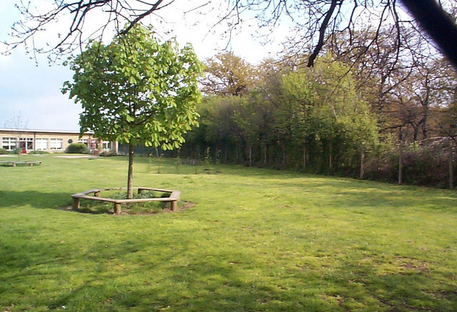
Image: © John Matthews Taken: 18 Apr 1999
Between Woodside school (on the left) and Terrel's Heath is an ancient bank and ditch that formed the parish boundary between Little Thurrock and Chadwell.
Images are licensed for reuse under creativecommons.org/licenses/by-sa/2.0
Image Location
Latitude
51.488506
Longitude
0.356451