Cycle route access
Introduction
The photograph on this page of Cycle route access by Richard Croft as part of the Geograph project.
The Geograph project started in 2005 with the aim of publishing, organising and preserving representative images for every square kilometre of Great Britain, Ireland and the Isle of Man.

There are currently over 7.5m images from over 14,400 individuals and you can help contribute to the project by visiting https://www.geograph.org.uk
Cycle route access
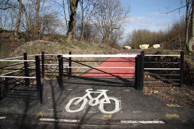
Image: © Richard Croft Taken: 25 Mar 2010
Access from Lord's Head Lane to the new cycle route at Warmsworth http://www.geograph.org.uk/photo/1773917
Images are licensed for reuse under creativecommons.org/licenses/by-sa/2.0
Image Location
Latitude
53.4901
Longitude
-1.177646