Dowlow Works
Introduction
The photograph on this page of Dowlow Works by Peter Barr as part of the Geograph project.
The Geograph project started in 2005 with the aim of publishing, organising and preserving representative images for every square kilometre of Great Britain, Ireland and the Isle of Man.

There are currently over 7.5m images from over 14,400 individuals and you can help contribute to the project by visiting https://www.geograph.org.uk
Dowlow Works
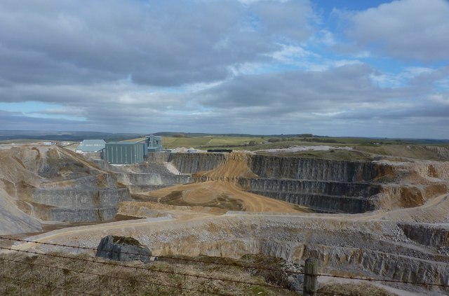
Image: © Peter Barr Taken: 27 Mar 2010
Limestone is graded, crushed and washed for various purposes. The scale of these quarries is hard to take in. Dowlow and Hindlow cover approximately 3 square kilometres.
Images are licensed for reuse under creativecommons.org/licenses/by-sa/2.0
Image Location
Latitude
53.206275
Longitude
-1.850241