Bournemouth: path to upper part of Meyrick Park
Introduction
The photograph on this page of Bournemouth: path to upper part of Meyrick Park by Chris Downer as part of the Geograph project.
The Geograph project started in 2005 with the aim of publishing, organising and preserving representative images for every square kilometre of Great Britain, Ireland and the Isle of Man.

There are currently over 7.5m images from over 14,400 individuals and you can help contribute to the project by visiting https://www.geograph.org.uk
Bournemouth: path to upper part of Meyrick Park
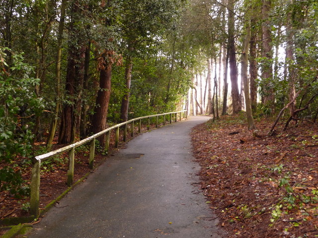
Image: © Chris Downer Taken: 25 Mar 2010
To the east of the sports field of Meyrick Park, this wooded section connects with the ends of St. Valerie and St. Augustin's Roads, whose dead ends meet the path farther along here.
Images are licensed for reuse under creativecommons.org/licenses/by-sa/2.0
Image Location
Latitude
50.728279
Longitude
-1.880935