Elscombe Lane, Stile Down
Introduction
The photograph on this page of Elscombe Lane, Stile Down by Rob Farrow as part of the Geograph project.
The Geograph project started in 2005 with the aim of publishing, organising and preserving representative images for every square kilometre of Great Britain, Ireland and the Isle of Man.

There are currently over 7.5m images from over 14,400 individuals and you can help contribute to the project by visiting https://www.geograph.org.uk
Elscombe Lane, Stile Down
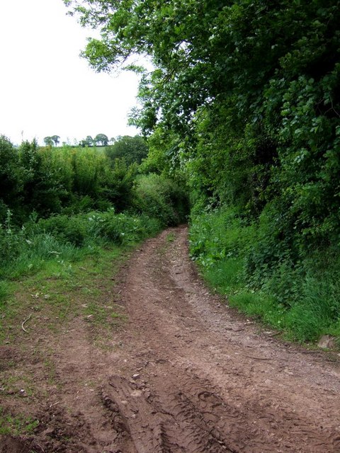
Image: © Rob Farrow Taken: 29 May 2006
This track initially heads off southwards then veers more eastward as it crosses a brook. It eventually gets to Waydown Cross. I think the valley which the brook runs through is probably Elscombe giving the lane its name.
Images are licensed for reuse under creativecommons.org/licenses/by-sa/2.0
Image Location
Latitude
51.165462
Longitude
-3.527409