Churchyard, Siloh Presbyterian Church, Gelligroes
Introduction
The photograph on this page of Churchyard, Siloh Presbyterian Church, Gelligroes by Robin Drayton as part of the Geograph project.
The Geograph project started in 2005 with the aim of publishing, organising and preserving representative images for every square kilometre of Great Britain, Ireland and the Isle of Man.

There are currently over 7.5m images from over 14,400 individuals and you can help contribute to the project by visiting https://www.geograph.org.uk
Churchyard, Siloh Presbyterian Church, Gelligroes
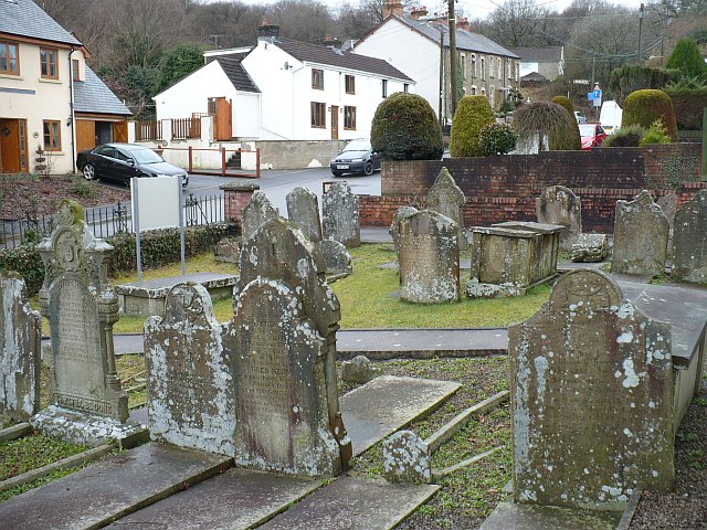
Image: © Robin Drayton Taken: 20 Mar 2010
http://www.geograph.org.uk/photo/1772041 for the church. Gelligroes means "the grove at the crossroads".
Images are licensed for reuse under creativecommons.org/licenses/by-sa/2.0
Image Location
Latitude
51.645493
Longitude
-3.191702