River Weaver, Original Course before straightening
Introduction
The photograph on this page of River Weaver, Original Course before straightening by Dr Duncan Pepper as part of the Geograph project.
The Geograph project started in 2005 with the aim of publishing, organising and preserving representative images for every square kilometre of Great Britain, Ireland and the Isle of Man.

There are currently over 7.5m images from over 14,400 individuals and you can help contribute to the project by visiting https://www.geograph.org.uk
River Weaver, Original Course before straightening
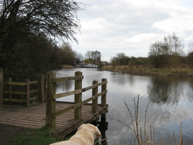
Image: © Dr Duncan Pepper Taken: 26 Mar 2010
Also known as Marshall's Arm, commercial pressures caused the old river course to be bypassed to enhance navigability for the salt industry transport.
Images are licensed for reuse under creativecommons.org/licenses/by-sa/2.0
Image Location
Latitude
53.245304
Longitude
-2.524453