Collington Street, Beeston
Introduction
The photograph on this page of Collington Street, Beeston by Andrew Abbott as part of the Geograph project.
The Geograph project started in 2005 with the aim of publishing, organising and preserving representative images for every square kilometre of Great Britain, Ireland and the Isle of Man.

There are currently over 7.5m images from over 14,400 individuals and you can help contribute to the project by visiting https://www.geograph.org.uk
Collington Street, Beeston
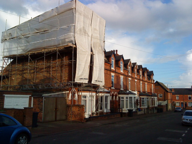
Image: © Andrew Abbott Taken: 26 Mar 2010
The house under scaffolding suffered a fire on 30 January 2010. The residents been growing cannabis in the roof space, and it is thought that the equipment used to propagate the plants caused the fire. The roof collapsed.
Images are licensed for reuse under creativecommons.org/licenses/by-sa/2.0
Image Location
Latitude
52.924081
Longitude
-1.221579