Pasture and arable
Introduction
The photograph on this page of Pasture and arable by Jonathan Billinger as part of the Geograph project.
The Geograph project started in 2005 with the aim of publishing, organising and preserving representative images for every square kilometre of Great Britain, Ireland and the Isle of Man.

There are currently over 7.5m images from over 14,400 individuals and you can help contribute to the project by visiting https://www.geograph.org.uk
Pasture and arable
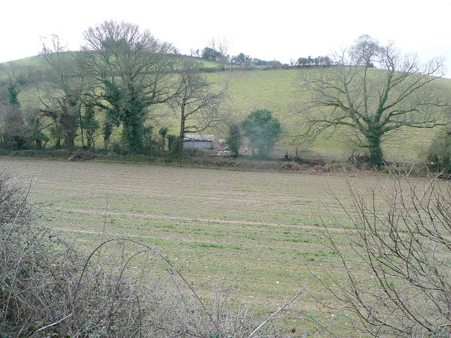
Image: © Jonathan Billinger Taken: 26 Mar 2010
East Devon farmland viewed from the Sidmouth to Ottery road.
Images are licensed for reuse under creativecommons.org/licenses/by-sa/2.0
Image Location
Latitude
50.713267
Longitude
-3.275405