Field Footpath
Introduction
The photograph on this page of Field Footpath by Alan Murray-Rust as part of the Geograph project.
The Geograph project started in 2005 with the aim of publishing, organising and preserving representative images for every square kilometre of Great Britain, Ireland and the Isle of Man.

There are currently over 7.5m images from over 14,400 individuals and you can help contribute to the project by visiting https://www.geograph.org.uk
Field Footpath
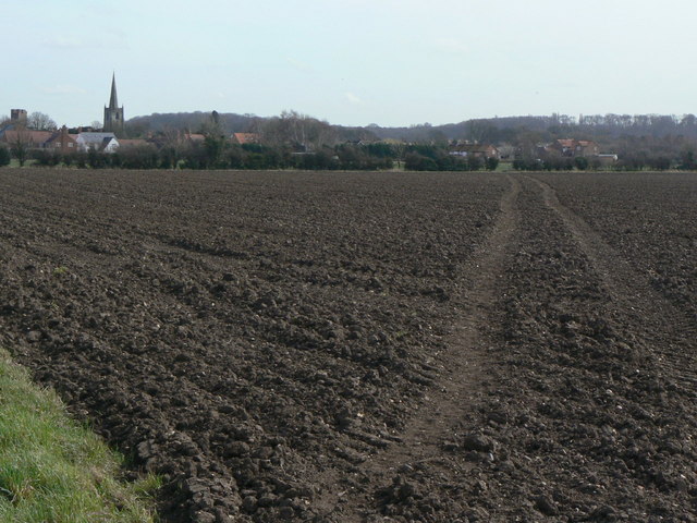
Image: © Alan Murray-Rust Taken: 23 Mar 2010
Marked by the simple expedient of driving a tractor across the seeded soil. Old maps show that this footpath has been realigned at some stage, as it used to run on a slightly more westerly course to join the track at SK57122979.
Images are licensed for reuse under creativecommons.org/licenses/by-sa/2.0
Image Location
Latitude
52.861881
Longitude
-1.144266