Drainage channel on Bradmore Moor
Introduction
The photograph on this page of Drainage channel on Bradmore Moor by Alan Murray-Rust as part of the Geograph project.
The Geograph project started in 2005 with the aim of publishing, organising and preserving representative images for every square kilometre of Great Britain, Ireland and the Isle of Man.

There are currently over 7.5m images from over 14,400 individuals and you can help contribute to the project by visiting https://www.geograph.org.uk
Drainage channel on Bradmore Moor
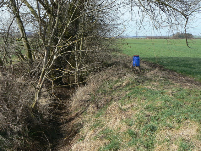
Image: © Alan Murray-Rust Taken: 23 Mar 2010
Looking west from the footpath between Bradmore and Bunny. It appears to be the boundary between Bradmore (right) and Bunny (left) Moors.
Images are licensed for reuse under creativecommons.org/licenses/by-sa/2.0
Image Location
Latitude
52.867149
Longitude
-1.139261