The Nottingham Canal
Introduction
The photograph on this page of The Nottingham Canal by Lynne Kirton as part of the Geograph project.
The Geograph project started in 2005 with the aim of publishing, organising and preserving representative images for every square kilometre of Great Britain, Ireland and the Isle of Man.

There are currently over 7.5m images from over 14,400 individuals and you can help contribute to the project by visiting https://www.geograph.org.uk
The Nottingham Canal
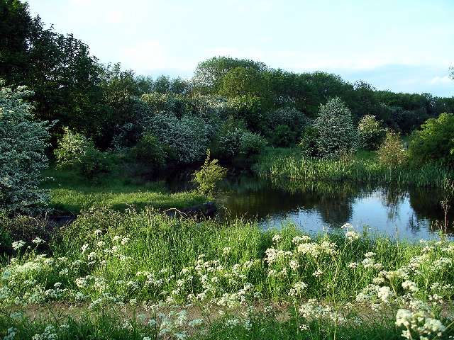
Image: © Lynne Kirton Taken: 29 May 2006
The canal widens at this point with a short spur, possibly a turning area. For more information about the canal, see Image
Images are licensed for reuse under creativecommons.org/licenses/by-sa/2.0
Image Location
Latitude
52.98132
Longitude
-1.289512