Footpath junction by former hospital
Introduction
The photograph on this page of Footpath junction by former hospital by Robin Webster as part of the Geograph project.
The Geograph project started in 2005 with the aim of publishing, organising and preserving representative images for every square kilometre of Great Britain, Ireland and the Isle of Man.

There are currently over 7.5m images from over 14,400 individuals and you can help contribute to the project by visiting https://www.geograph.org.uk
Footpath junction by former hospital
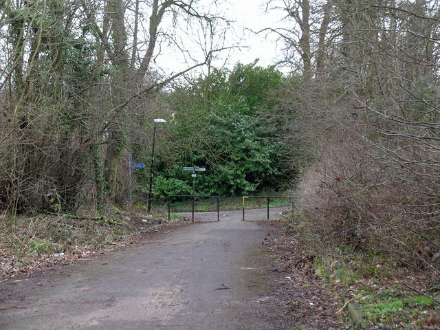
Image: © Robin Webster Taken: 25 Mar 2010
The ways here were formerly roads associated with the Royal Earlswood Hospital. This huge mental hospital closed and is now a residential area, but these old roads are not used for vehicle access.
Images are licensed for reuse under creativecommons.org/licenses/by-sa/2.0
Image Location
Latitude
51.223265
Longitude
-0.169838