Junction between Old Lode Lane and Hobs Moat Road, Solihull
Introduction
The photograph on this page of Junction between Old Lode Lane and Hobs Moat Road, Solihull by Brian Robert Marshall as part of the Geograph project.
The Geograph project started in 2005 with the aim of publishing, organising and preserving representative images for every square kilometre of Great Britain, Ireland and the Isle of Man.

There are currently over 7.5m images from over 14,400 individuals and you can help contribute to the project by visiting https://www.geograph.org.uk
Junction between Old Lode Lane and Hobs Moat Road, Solihull
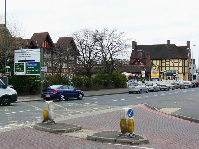
Image: © Brian Robert Marshall Taken: 24 Mar 2010
This is a view north-west from Solihull towards Birmingham. The boundary is underneath the silver Ford Focus and the pub and hotel complex comprising the Wheatsheaf (the half-timbered building) is in Birmingham.
Images are licensed for reuse under creativecommons.org/licenses/by-sa/2.0
Image Location
Latitude
52.450968
Longitude
-1.782624