Level crossing, Totton
Introduction
The photograph on this page of Level crossing, Totton by Derek Harper as part of the Geograph project.
The Geograph project started in 2005 with the aim of publishing, organising and preserving representative images for every square kilometre of Great Britain, Ireland and the Isle of Man.

There are currently over 7.5m images from over 14,400 individuals and you can help contribute to the project by visiting https://www.geograph.org.uk
Level crossing, Totton
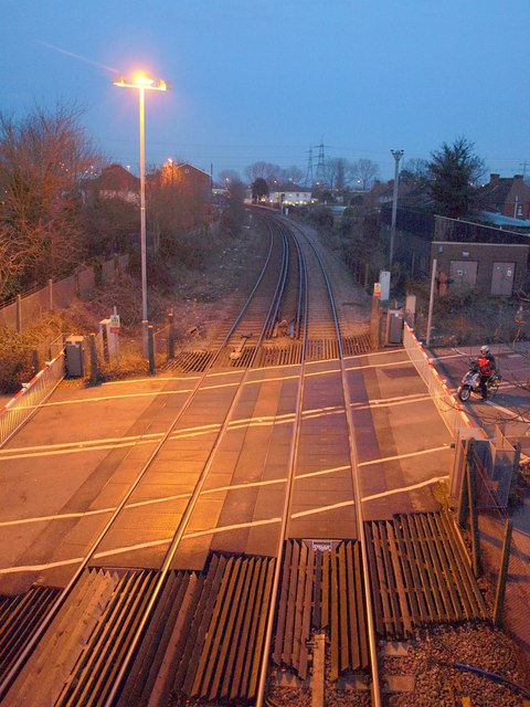
Image: © Derek Harper Taken: 17 Feb 2010
On Junction Road, and seen from the accompanying footbridge. The crossing remained closed for a considerable length of time before a train passed, causing a huge build-up of traffic.
Images are licensed for reuse under creativecommons.org/licenses/by-sa/2.0
Image Location
Latitude
50.917042
Longitude
-1.486125