Bartley Water
Introduction
The photograph on this page of Bartley Water by Derek Harper as part of the Geograph project.
The Geograph project started in 2005 with the aim of publishing, organising and preserving representative images for every square kilometre of Great Britain, Ireland and the Isle of Man.

There are currently over 7.5m images from over 14,400 individuals and you can help contribute to the project by visiting https://www.geograph.org.uk
Bartley Water
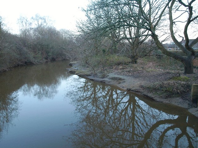
Image: © Derek Harper Taken: 17 Feb 2010
Taken at dusk looking downstream from a footbridge crossed by Totton and Eling Footpath 32 and the Test Way. This is marked on maps as the normal tidal limit of the river.
Images are licensed for reuse under creativecommons.org/licenses/by-sa/2.0
Image Location
Latitude
50.907082
Longitude
-1.491213