2010 : Old school house, Edington
Introduction
The photograph on this page of 2010 : Old school house, Edington by Maurice Pullin as part of the Geograph project.
The Geograph project started in 2005 with the aim of publishing, organising and preserving representative images for every square kilometre of Great Britain, Ireland and the Isle of Man.

There are currently over 7.5m images from over 14,400 individuals and you can help contribute to the project by visiting https://www.geograph.org.uk
2010 : Old school house, Edington
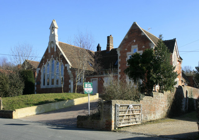
Image: © Maurice Pullin Taken: 5 Mar 2010
Seen from the B3098 Westbury Road. Now converted to a private house and for sale.
Images are licensed for reuse under creativecommons.org/licenses/by-sa/2.0
Image Location
Latitude
51.278354
Longitude
-2.09701