Craigard
Introduction
The photograph on this page of Craigard by Mark Nightingale as part of the Geograph project.
The Geograph project started in 2005 with the aim of publishing, organising and preserving representative images for every square kilometre of Great Britain, Ireland and the Isle of Man.

There are currently over 7.5m images from over 14,400 individuals and you can help contribute to the project by visiting https://www.geograph.org.uk
Craigard
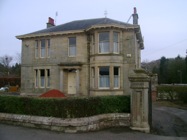
Image: © Mark Nightingale Taken: 23 Mar 2010
This old house, east of Dunlop station, was surely once one of the village's finest residences. At present it appears rather run down, but is undergoing renovation.
Images are licensed for reuse under creativecommons.org/licenses/by-sa/2.0
Image Location
Latitude
55.712117
Longitude
-4.529538