Lane northwest of Blair Mill
Introduction
The photograph on this page of Lane northwest of Blair Mill by Mark Nightingale as part of the Geograph project.
The Geograph project started in 2005 with the aim of publishing, organising and preserving representative images for every square kilometre of Great Britain, Ireland and the Isle of Man.

There are currently over 7.5m images from over 14,400 individuals and you can help contribute to the project by visiting https://www.geograph.org.uk
Lane northwest of Blair Mill
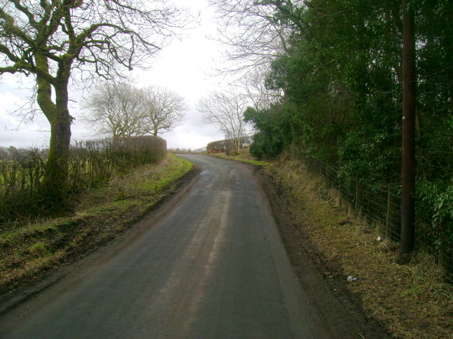
Image: © Mark Nightingale Taken: 23 Mar 2010
Looking east along a quiet lane a little west of the junction north of Blair Mill.
Images are licensed for reuse under creativecommons.org/licenses/by-sa/2.0
Image Location
Latitude
55.694696
Longitude
-4.677052