Blagrove Hill
Introduction
The photograph on this page of Blagrove Hill by Derek Harper as part of the Geograph project.
The Geograph project started in 2005 with the aim of publishing, organising and preserving representative images for every square kilometre of Great Britain, Ireland and the Isle of Man.

There are currently over 7.5m images from over 14,400 individuals and you can help contribute to the project by visiting https://www.geograph.org.uk
Blagrove Hill
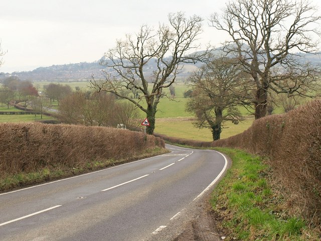
Image: © Derek Harper Taken: 12 Feb 2010
The road from Butleigh Wootton down onto South Moor drops down to become Cow Bridge Road on the level.
Images are licensed for reuse under creativecommons.org/licenses/by-sa/2.0
Image Location
Latitude
51.118602
Longitude
-2.711029