Railway bridge, Bradford Abbas
Introduction
The photograph on this page of Railway bridge, Bradford Abbas by Derek Harper as part of the Geograph project.
The Geograph project started in 2005 with the aim of publishing, organising and preserving representative images for every square kilometre of Great Britain, Ireland and the Isle of Man.

There are currently over 7.5m images from over 14,400 individuals and you can help contribute to the project by visiting https://www.geograph.org.uk
Railway bridge, Bradford Abbas
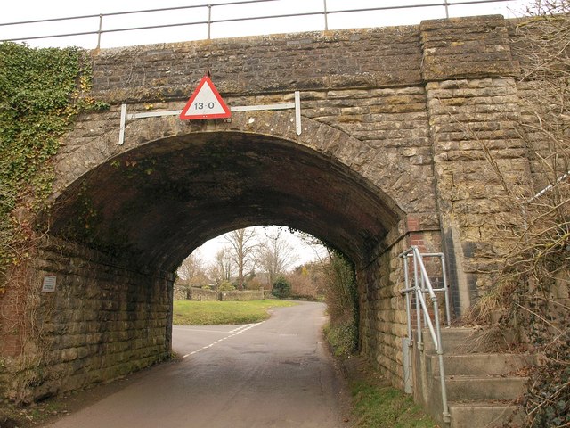
Image: © Derek Harper Taken: 12 Feb 2010
Once, this railway bridge carrying the Waterloo line across Westbury would have been near the northern edge of the village. Now, since, most recent development has taken place north of it, it is nearer the southern edge. Bishop's Lane, which leads past two closes of such modern houses, turns off to the left just beyond the bridge.
Images are licensed for reuse under creativecommons.org/licenses/by-sa/2.0
Image Location
Latitude
50.927654
Longitude
-2.589302