Pillar Of Salt Public House
Introduction
The photograph on this page of Pillar Of Salt Public House by Peter Whatley as part of the Geograph project.
The Geograph project started in 2005 with the aim of publishing, organising and preserving representative images for every square kilometre of Great Britain, Ireland and the Isle of Man.

There are currently over 7.5m images from over 14,400 individuals and you can help contribute to the project by visiting https://www.geograph.org.uk
Pillar Of Salt Public House
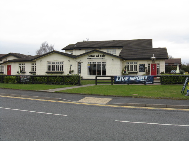
Image: © Peter Whatley Taken: 23 Mar 2010
A modern establishment to complement the extensive housing estates which surround it.
Images are licensed for reuse under creativecommons.org/licenses/by-sa/2.0
Image Location
Latitude
52.257042
Longitude
-2.166674